 The Lochside Regional Trail is a 29 km multi-use trail that runs along a former rail line. The original CPNR passenger rail service began in 1917, but only ran for a few years before going bankrupt, after which it was used for freight service. Portions of the rail bed were used for freight until 1990.
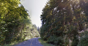
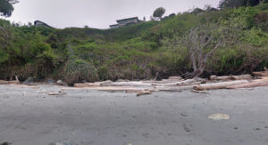
Now the trail is used by commuters, walkers, horseback riders and others to travel the length of the Saanich peninsula and into the city of Victoria. Parts of the Lochside trail follow gravel or paved public roadways while other portions pass through farmer’s fields, close to the ocean and lakes, over trestles, through parklands, and close to shopping malls and subdivisions.
The trail itself is wide and mostly flat, suitable for use by almost anyone. It intersects with the Galloping Goose trail at its beginning; the switch bridge which crosses the Trans-Canada Highway near Carey Road. The entire Lochside/Galloping Goose trail system is well used by thousands of people who are living in or visiting Victoria and can be considered one of our local treasures.
How to Get to Lochside Regional Trail
There are many entrance points to the Lochside Regional Trail, including;
- Tulista Park off Lochside Drive in Sidney;
- Cy Hampson Park off Lochside Drive in Central Saanich;
- Lochside Park off Cordova Bay Road
You can download this map of the trail to locate your nearest access point or the official trail guide for more information. The Lochside Regional Trail is open every day.


